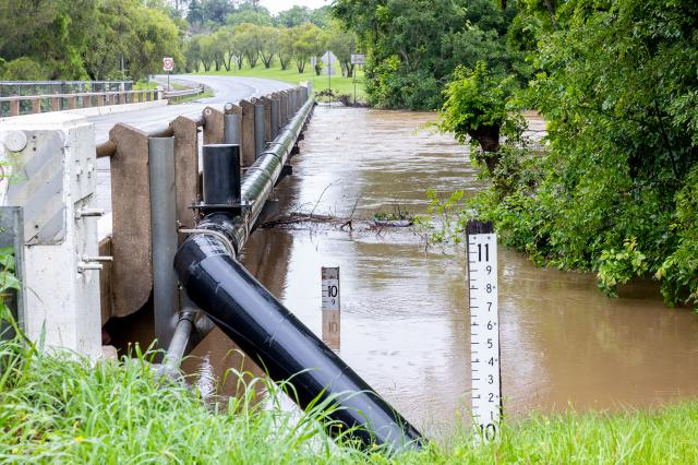
Gympie will have to wait a little longer to have flood cameras at bridges around the Mary River added to the 50 flood cameras that have just gone online from across the state following upgrades to QLDTraffic.
This technical enhancement to the website allows for the direct sharing of imagery from flood-monitoring cameras across Queensland and at the moment 10 of those cameras are located in the Gympie local government area.
Drivers around Cooroy, Kin Kin, Pomona and Gheerulla will be able to check in real time whether local flood prone roads are safe to traverse with a single click on the QLDTraffic website.
Cameras are currently operational at:
* Six Mile Creek at Cooroy on the Cooroy Connection Road and at Ringtail Creek on Louis Bazzo Drive,
* Kin Kin Creek at Main Street, the Gympie Kin Kin Rd, north of Treichells Rd and on Treichells Rd,
* Yellow Creek at Kin Kin on the Gympie Kin Kin Rd,
* Cooroora Creek at Pomona at Louis Bazzo Dr and at Hill Street, and
* Gheerulla Creek at Gheerulla on the Eumundi Kenilworth Rd.
QLDTraffic continues to be the Queensland Government’s official source of live traffic and travel information and it is reported in the 2021–22 financial year, the QLDTraffic website was visited about six million times while the app was downloaded onto more than 160,000 devices.
Transport and Main Roads Minister, Mark Bailey MP said the recent flooding across the state had made getting the cameras up and working a priority
“The community now has access to camera images from 17 local council areas in northern and southern Queensland,” Mr Bailey said.
“Transport and Main Roads (TMR) and local governments both maintain a variety of different types of road-monitoring equipment, including flood-monitoring cameras, which supply vital information for the management, safety and efficiency of the network.
“Due to a number of recent flooding events, there has been a significant investment in flood-monitoring equipment across Queensland’s road network.
“Making these images publicly available provides additional, timely information to communities and travellers during severe weather conditions, allowing them to make safer, more informed travel decisions.
“This innovative and creative use of existing infrastructure is another example of how we can help communities stay safe and informed during disaster and weather events.”
Mr Bailey said the TMR is committed to ensuring all motorists have access the latest road condition information through the QLDTraffic website, smartphone app and 13 19 40 services.


