New information addressing the shortcomings in the existing flood information for the Gympie Region has been released by Gympie Regional Council for the Tin Can Bay, Cooloola Cove and Rainbow Beach areas.
The new information has been peer reviewed and is available to any interested party via Council’s website.
The council has endorsed the adoption of areas mapped in Council’s on-line Geographic Information System (GIS) mapping and flood extents be designated as flood hazard areas in accordance with Section 8 of the Building Regulation 2021.
Also endorsing that flood levels and flow rate information be declared for the flood hazard areas.
The outcome of this is the minimum finished floor level for domestic and residential buildings built be set at an Australian Height Datum of 2.8m for Tin Can and 3m for Cooloola Cove and 2.8m for Rainbow Beach.
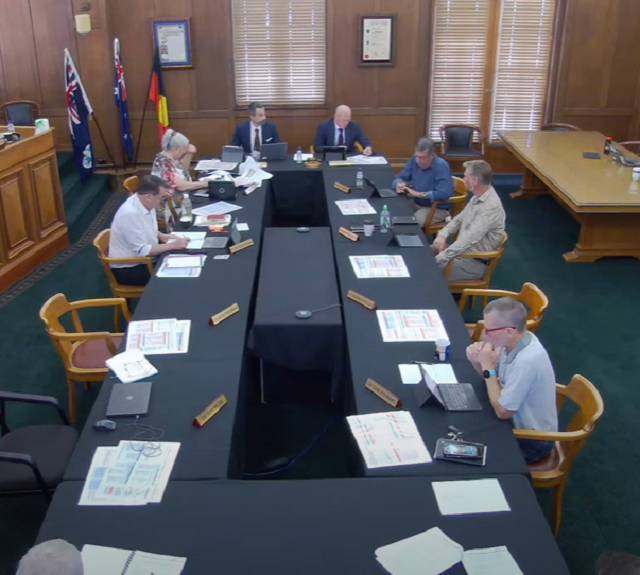
Councillors had the opportunity to reject the recommendation to accept this mapping which has been outlined through data presented by a number of specialist consultants who were commissioned to carry out the flood studies for various catchments.
“I just hate this, because I just know its going to cause pain to some people“ Councillor Deveraux says,
“But we have to go forward and the responsible thing to do is to accept it“.
The recommendation was carried with Mayor Hartwig and Councillors Devereaux, Waldock and Stewart in agreeance whilst Councillors Smerdon and Jensen had rejected.
Councillors Polley and Fredman were unable to attend and Councillor Milne abstained after declaring a possible conflict of interest.


