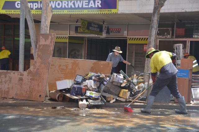
More federal funding for flood recovery is being sent out to impacted councils over the next few months according to reports in the Australian and the Courier Mail recently.
The government is spending $1.8B across all the states with $758M to be shared among Queensland local government areas.
How much of that money will be sent to Gympie has not been made clear at this stage, but the impacts in this region have been devastating according to the Gympie Regional Council’s 2022-2024 Recover Plan, released in November last year.
The three disaster events, in January, February and again in May resulted in huge impacts in five major areas – human and social, economic, environmental, built environments and roads and transport.
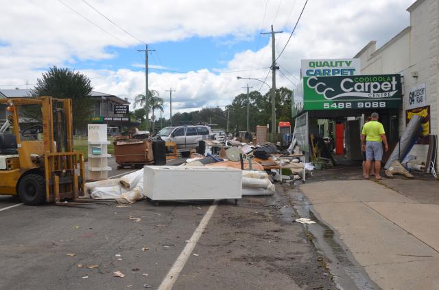
At the peak of the largest event, in February, over 460 people needed to be accommodated in four evacuation centres, aerial and boat drops of food and medication were required, schools were closed, 291 residential homes and 143 commercial and industrial premises were flooded to varying degrees.
There was an over 455 per cent increase in tonnage of waste (50 per cent of the council’s projected annual amount) in an 8 week period following the event,
Significant disruptions to electricity (6900 individual outages at peak), telecommunications (Kilkivan lost phone connection affecting approximately 800 people and power failures at 11 mobile sites impacted a further 10,000 customers), sewerage and water, with the Goomeri water plant having 36 lineal metres of water main swept away in the January event and therefore rendered partially inoperable, and in February five local water treatment plants were not operational for between one and five days.
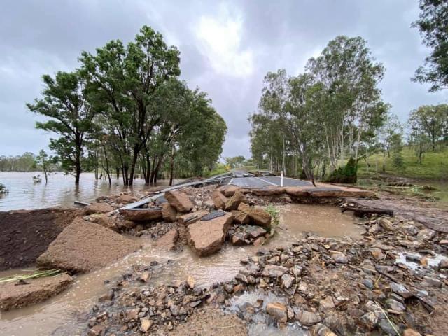
With regards to transport infrastructure the Gympie region suffered extensive damage to bridges, culverts, crossings, road surfaces, road shoulders and extensive road closures and isolation of some streets and communities.
A train derailed at Traveston and major bridges such as Pengellys, Normanby, Bells, Inglewood and Kidd Bridges were closed, not to mention numerous creek crossings and culverts.
During the January flooding event peak 17 main roads and 23 council roads were closed.
In February that jumped up to 20 main and 28 LGA roads and in May the number of council roads closed jumped again to 34 road closures and 16 main roads.
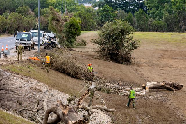
Other council infrastructure such as parks, playgrounds, swimming pools, memorial sites and heritage listed assets all took a beating with the rotunda in Memorial Park still undergoing painstaking restoration nearly 18 months later.
Unfortunately, Gympie Regional Council were unable to answer the question on how much funding they will receive from this latest initiative by deadline, or what projects they are likely to spend that money on.
We also posed the question on what major projects still need to be completed and how much funding will be required to get Gympie back to where it was, pre-flood.
We hope to bring you those answers once we have them.

